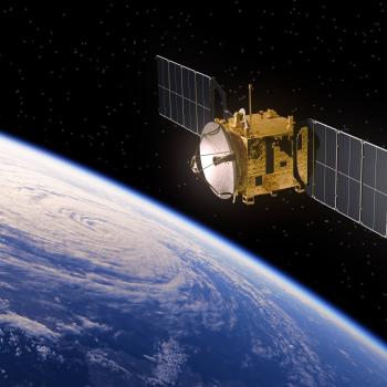
The first picture of Earth was taken by the U.S. satellite Explorer VI in 1959.

Event Description
In 1959, the U.S. satellite Explorer VI took the first photographic image of the planet Earth from space while passing over the Central Pacific Ocean. The black-and-white image shows a portion of the ocean and the cloud cover in the area.
Classroom Activity
The first picture of Earth taken by Explorer VI probably does not look like what your students will imagine. Share the first picture from the Explorer VI Satellite with students, making sure to click on the image for an enlarged view. Discuss the differences between the images of the Earth that we typically see today (as shown on this date) and this first image. Use the opportunity to explore the changes in technology that have made photos today more sophisticated than the images taken in 1959.
Websites
Explore a variety of images of Earth taken from space. This database of images, published by the NASA-Johnson Space Center, includes photographs of cities, weather features, landscapes, and other specific geographic regions.
This site discusses the Earth Observing System, a set of 14 satellites observing the oceans, continents, and atmosphere to determine the pace and future of global warming and other trends.
This website, produced by the Smithsonian National Air and Space Museum, provides real-time images of Earth and a summary of what the images tell us about the planet.